Data
We publish our data with an open licence to help others discover and share the history and stories of Toowong Cemetery.
Our Data
Friends of Toowong Cemetery have published data, including:
- an index to individual stories we've written about in our Toowong Cemetery stories.
- a list of headstones moved from Paddington Cemetery to Toowong Cemetery in the 1910's
- a list of headstones lost from Paddington Cemetery in the 1930's, some which have been rediscovered in Toowong Cemetery
- a list of the 28 Brisbane Mayors buried in Toowong Cemetery
- a list of information signs installed beside memorials and graves of notable people in Toowong Cemetery
Other Data
Where practical, we link to authoritative data sources, rather than duplicate data. We encourage other data owners to publish their data as easily accessible open data. Other data we would like to reuse includes:
Brisbane City Council data
- Graves and Human Remains - who is buried in which grave and associated dates
- Cemetery Location data:
- Cemetery boundary is available as open data
- Portion and Section boundaries
- Cemetery Road casements - centrelines are available as open data
- Toowong Cemetery Pedestrian Entrance off Mt Coot‑tha Road.
- Toowong Cemetery Main, Richer Street, and Frederick Street gates
- Surrounding Road casements - including roads running off the surrounding road to aid orientation
- Cemetery Building outlines - Amenities, Workshop, Office, Museum and Shelter Sheds
- Waterways - Langsville Creek and Flood risk are available as open data
- Governor Blackall and the Soldiers Memorial monument outlines
- Contour lines - are available as open data.
Data Formats
Our data is published as Comma Separated Value (.csv) data files.
Data Consumers
Our end goal for publishing and linking our data is to enable Friends of Toowong Cemetery and others to discover and share new stories and historical insights about Toowong Cemetery.
We encourage you to reuse our data but please follow the terms of the licence and provide attribution.
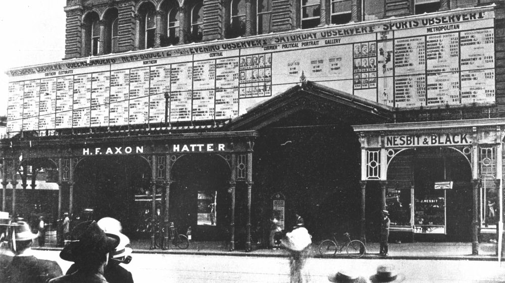
Posting of the election results on the outside of the Courier building, 1907 — State Library of Queensland. Cropped